Vinex Atlas Map
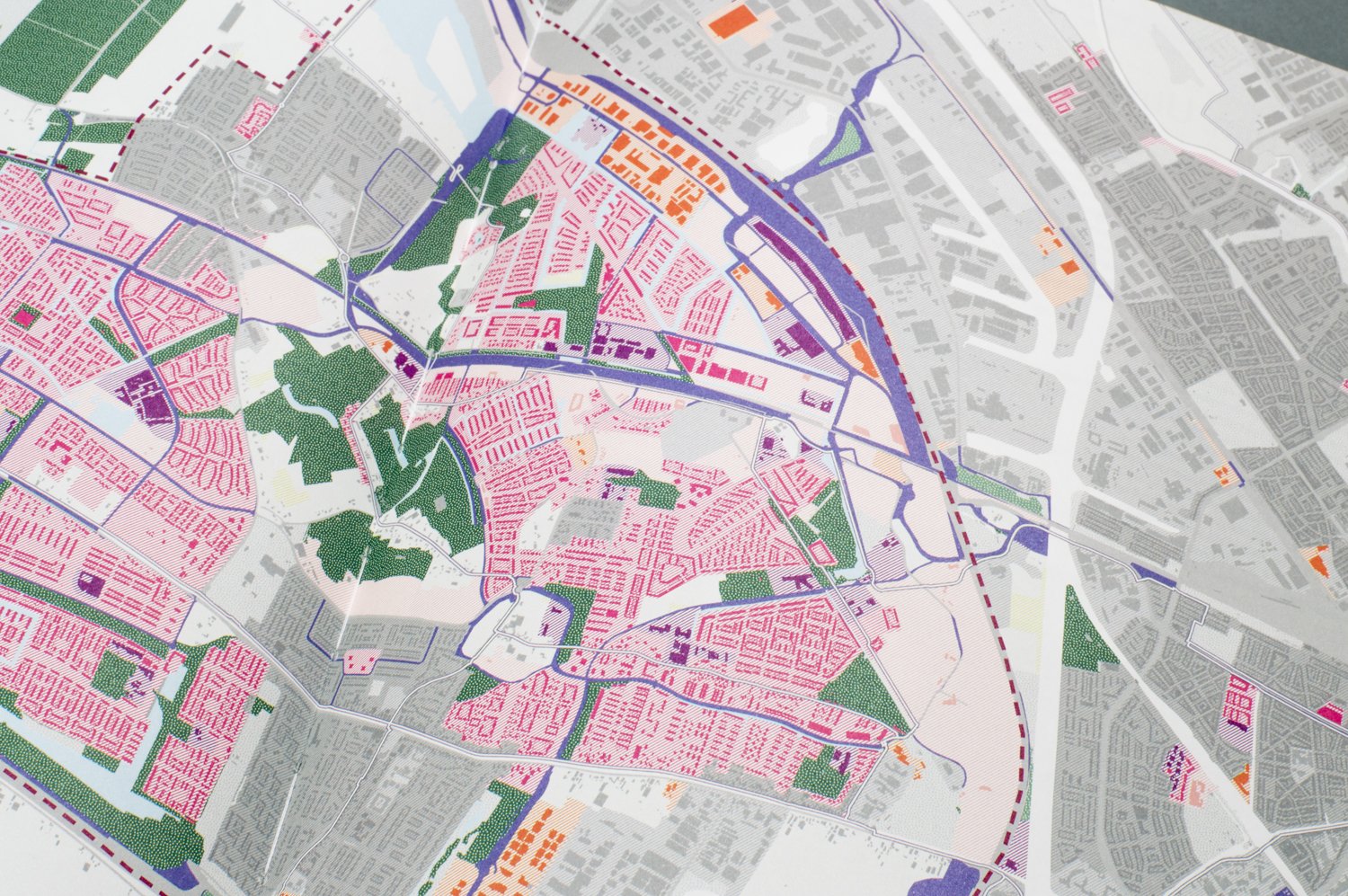
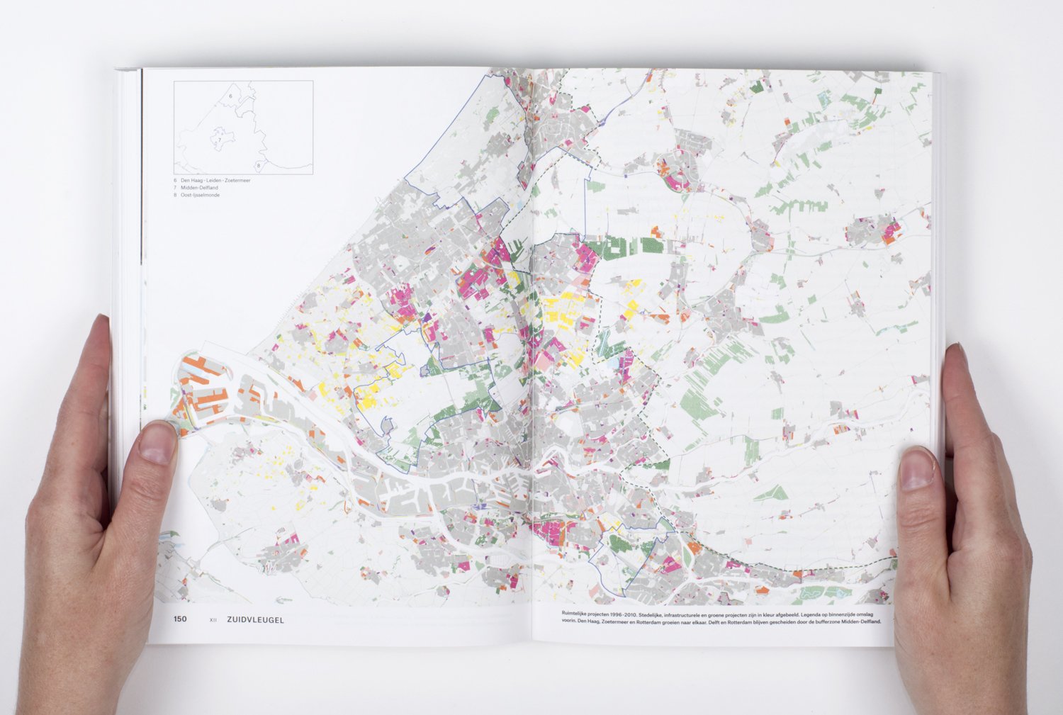
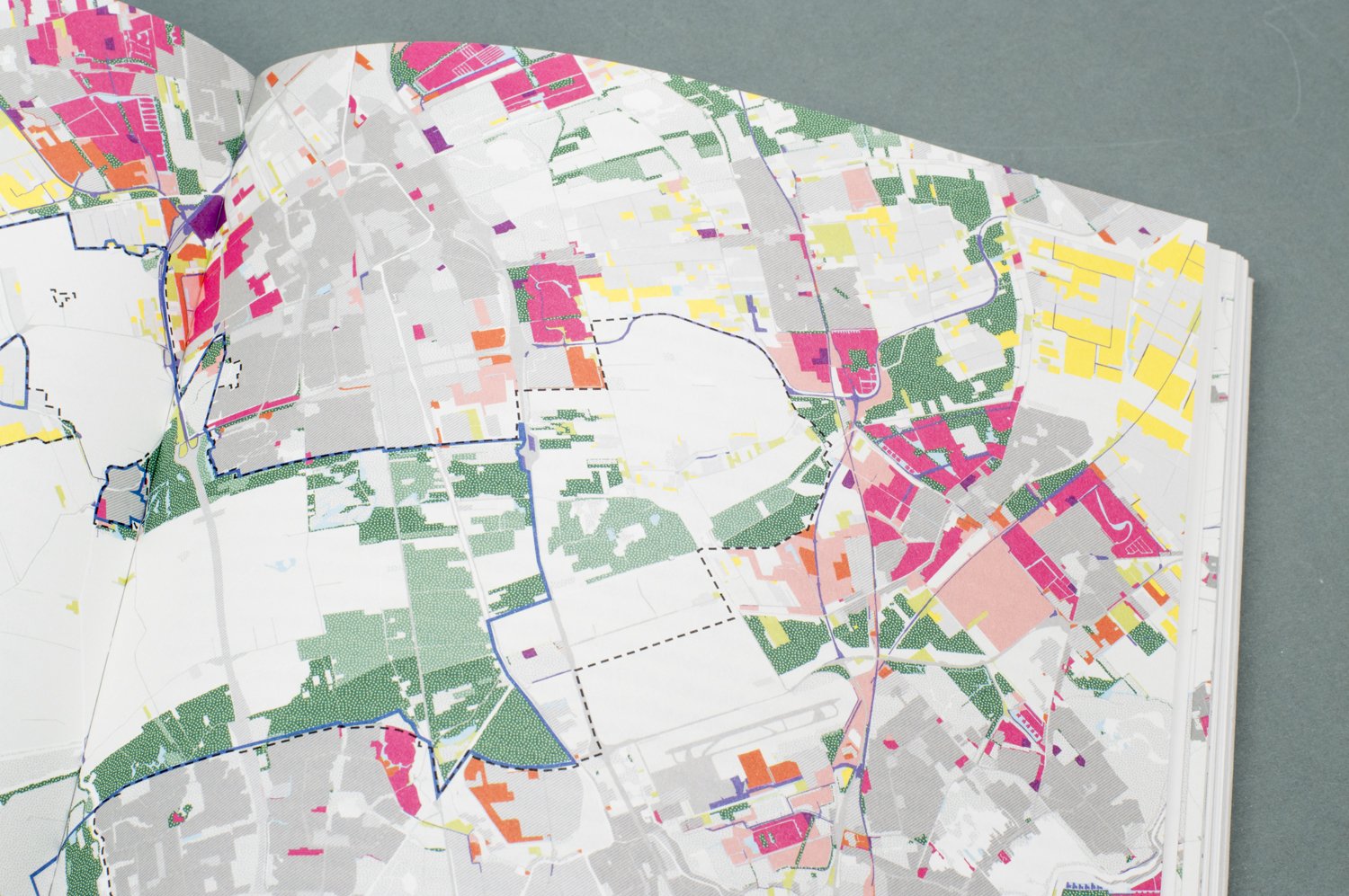
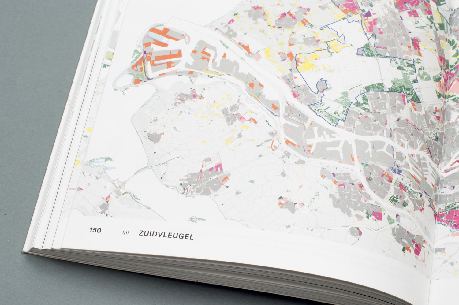
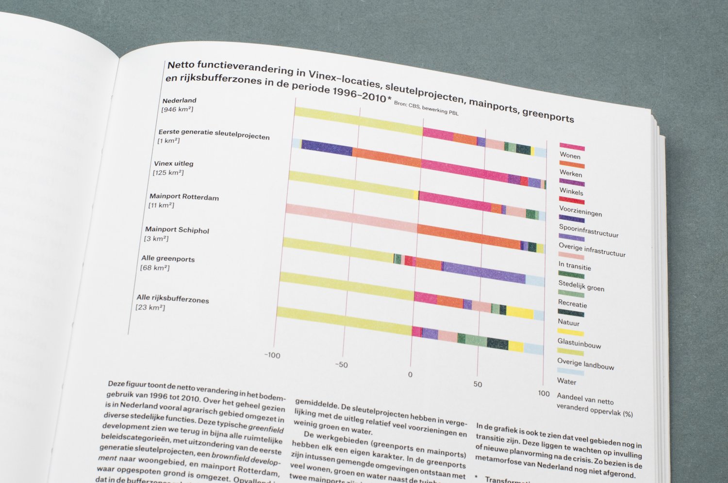
Vinex (Vierde Nota Ruimtelijke Ordening Extra, or Fourth Memorandum of Spatial Planning Extra) is an urban development plan that was released by the Dutch Ministry in 1988 to address the housing shortage in the city caused by population growth. Construction of new residential areas began in 1993. The book includes maps that illustrate the spatial changes that occurred between 1996 and 2010, as a result of the Vinex plan. The maps show new land usage in color and the remaining areas in various shades of gray.
Vinexとは、人口増加に伴う住宅不足を解消するため、1988年にオランダ政府が施行した都市計画の名称です。新しい住宅地の建設は1993年にスタートしました。この本の中では、1996年から2010年の間に都市がどのように変化していったかを、従来からあった土地をグレー、Vinexによって新たな土地利用が生まれたエリアをカラーで表しています。